


Hurricane Flossie 2025 update
Hurricane Flossie 2025 Update A Powerful Pacific Storm’s Changing Course and Impact
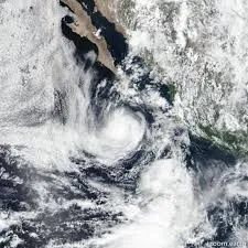
Hurricane Flossie has once again captured attention in the Pacific hurricane season of 2025, evolving rapidly from a tropical depression into a significant weather event affecting the southwestern coast of Mexico and the Baja California Peninsula. While its peak strength reached Category 3, the storm’s gradual weakening as it approaches the coast still poses serious hazards to coastal communities, infrastructure, and marine activities. Understanding Flossie’s development, projected path, and potential impact remains critical for preparedness as residents brace for continued heavy rainfall, dangerous surf, and localized flooding.
Flossie originated from a cluster of thunderstorms over warm Pacific waters near southern Mexico, where favorable oceanic temperatures and low wind shear allowed it to organize quickly. Over the span of just a few days, it intensified steadily, achieving major hurricane status with sustained winds surpassing 110 miles per hour. Such rapid intensification is a hallmark of many recent Pacific storms and reflects broader trends of warming ocean surfaces, which provide more energy for tropical cyclone formation. Meteorologists closely monitored the system as it strengthened, issuing warnings and forecasts for areas likely to be affected by the storm’s outer bands and high seas.
Despite its considerable power at peak, Hurricane Flossie has displayed signs of weakening as it moves northwestward, away from mainland Mexico and toward the open ocean. Cooler waters near the Baja California coast, along with increasing vertical wind shear, have contributed to a reduction in wind speed and overall storm structure. Current reports categorize Flossie as a Category 1 hurricane, but it continues to generate hazardous waves and strong gusts that affect coastal areas far beyond the storm’s center. This downgrading does not eliminate risks, however, as coastal residents must remain vigilant against flooding, mudslides in mountainous terrain, and the dangers posed by turbulent seas.
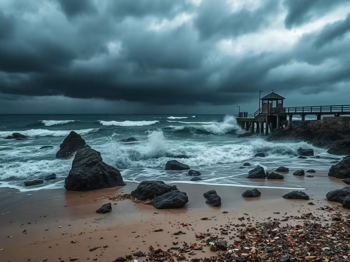
The storm’s track, steered by large scale atmospheric patterns, has shifted Flossie to pass several hundred miles offshore, sparing direct landfall but maintaining the potential for indirect damage. Coastal communities in states such as Guerrero, Michoacán, Colima, and Jalisco have experienced intense rainfall and flash flooding, with emergency services mobilizing to assist vulnerable populations. The Baja California Peninsula, though more distant, still faces surf advisories and strong ocean currents that threaten swimmers, fishermen, and vessels operating near the shore. Local authorities have issued warnings urging residents and tourists to avoid beachfront activities and prepare for possible power outages or infrastructure strain caused by wind and water.
One of the most concerning aspects of Hurricane Flossie is the sheer volume of rainfall expected in localized areas, especially in mountainous zones where water runoff can quickly overwhelm drainage systems and trigger landslides. The combination of saturated soils and steep terrain raises the risk of sudden mudflows capable of damaging roads, homes, and utilities. Historically, storms like Flossie have caused extensive disruption beyond wind damage, emphasizing the importance of monitoring flood prone regions and ensuring rapid response capabilities. Community awareness campaigns are underway to educate residents on evacuation routes, emergency shelters, and safety measures.
Looking forward, forecasts indicate that Flossie will continue to weaken over the coming days, transitioning into a tropical storm and eventually dissipating as it moves further into cooler waters. However, residual effects will linger, including swells and rip currents along a wide stretch of the Pacific coast. Mariners are advised to exercise caution, and beachgoers should heed all advisories until ocean conditions stabilize. The storm’s relatively slow pace also means that precipitation will persist for an extended period in affected regions, prolonging flood risks and complicating recovery efforts.
Beyond immediate impacts, Hurricane Flossie serves as a reminder of the evolving nature of Pacific hurricane activity in the context of climate variability. Scientists have noted increasing frequency and intensity of storms fueled by warmer sea surface temperatures and changing atmospheric conditions. These shifts underscore the necessity for adaptive infrastructure, improved forecasting technology, and community resilience strategies. As coastal populations grow, balancing development with sustainable land use and environmental stewardship becomes ever more critical to mitigate hurricane related hazards.
In summary, while Hurricane Flossie’s downgraded status may reduce the threat of catastrophic wind damage, its ongoing presence continues to challenge emergency management and public safety in Pacific coastal regions. The combination of heavy rains, high surf, and unstable terrain demands vigilance and proactive preparation from governments and citizens alike. By closely tracking Flossie’s progress and adhering to official guidance, communities can better navigate the risks posed by this storm and enhance readiness for future Pacific hurricane seasons.
Related Posts

G1 geomagnetic storm watch issued
Jul 14, 2025
Southern Europe wildfires worsen
Jul 14, 2025